The Red Cross Red Crescent Movement has long channelled innovation to enhance humanitarian efforts. A shining example of this is the new IFRC Network Geoinformation System (GIS) Training Platform, a dynamic tool designed to bolster the geospatial skills of National Societies globally. This platform has been co-developed by the British Red Cross, the German Red Cross, the Netherlands Red Cross’ data and digital team (510), and the Heidelberg Institute for Geoinformation Technology (HeiGIT), in correspondence with the International Federation of Red Cross and Red Crescent Societies (IFRC). A one-stop shop for GIS training material tailored to the IFRC network’s context, it exemplifies the power of partnership and innovation, unlocking the potential of utilising GIS for humanitarian work.
Leveraging GIS for life-saving humanitarian impact
Maps and geospatial analysis are crucial in humanitarian action, enabling organizations to plan operations and monitor their effectiveness in real-time. By analysing geography, topography, and infrastructure, maps enhance situational awareness and operational efficiency in disaster-stricken areas, saving lives and maximizing the impact of humanitarian efforts. National Societies around the world tap into GIS to map affected areas, pinpoint vulnerable populations, and distribute resource efficiently – allowing them to prioritize assistance where it is most needed.
The IFRC Network GIS Training Platform – a collaborative success
The IFRC Network GIS Training Platform was developed to enhance the GIS training experience for National Societies, ensuring efficiency and avoiding the duplication of existing resources. Consolidating training elements from the British Red Cross, the 510 team, HeiGIT, CartONG and MapAction, the platform builds on proven expertise and offers a wide range of material for users from beginner to intermediate levels. HeiGIT established a GitHub-hosted repository to structure the materials in a modular, open-source format, making content publicly accessible and allowing contributions from the wider community.
The training material is highly practical, focusing on humanitarian GIS use cases like disaster impact mapping, with video content and other visualizations to facilitate the follow-along lessons and exercises. Designed for flexibility, the training plans provide guidance while enabling individual modules to be used independently. A rich resource library complements the platform, offering up-to-date information ranging from best practices to innovative methods for teaching GIS. The initiative also includes a training-of-trainers for participating National Societies, where the team behind the platform introduces participants to its content via remote sessions. This way, the platform targets and supports those wanting to coach their peers in the field of GIS, boosting collaboration towards equipping the IFRC network with GIS skills tailored to humanitarian needs.
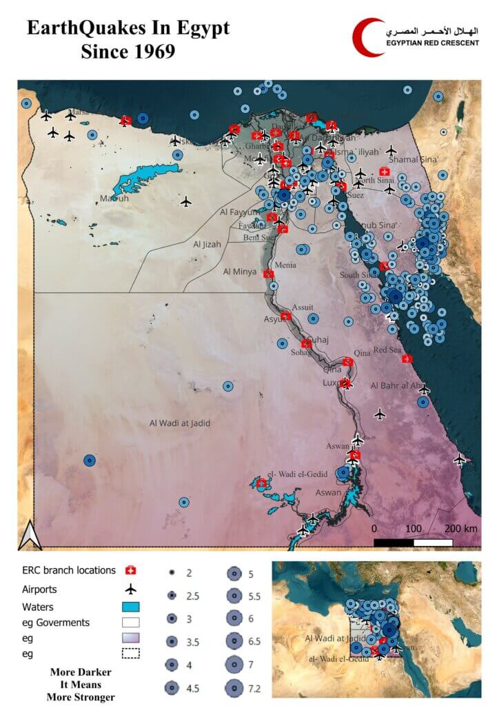
The platform in action – accelerating GIS capabilities in the MENA region
In 2024, the IFRC Network GIS Training Platform was put into action through an intensive three-week online training initiative for 10 National Societies in the Middle East and North Africa (MENA) region, at the request of the IFRC MENA Regional Office. The platform alleviated the facilitators’ work to prepare the training content, as it provided ready-made materials and exercises – allowing trainers to focus on delivering impactful sessions:
“The platform supported the facilitators a lot in terms of content preparation. It significantly reduced the time needed to prepare materials from scratch and develop exercises.”
Phuoc Phùng, Data Specialist at the Netherlands Red Cross
Participants engaged actively, asking insightful questions and showcasing skill progress, demonstrating the platform’s ability to strengthen practical applications of GIS. This example highlights how the platform streamlines GIS capacity-building efforts while empowering National Societies to enhance their humanitarian response capabilities.
The IFRC Network GIS Training Platform further proved useful for various initiatives within the field of anticipatory action. Read more about how the platform enhanced the capabilities of National Societies to mitigate the impact of cyclones in Madagascar, floods in Pakistan, and droughts in Somalia.
What’s next?
As GIS technology and data availability expand, the IFRC Network GIS Training Platform tool is ever-evolving. More exercises will continually be added to the tool, including material supporting facilitators with running a GIS training. By uniting resources, expertise, and training tools from diverse partners, the platform effectively harnesses technology to strengthen humanitarian responses and supports National Societies to tackle complex spatial challenges with ease. As the humanitarian sector continues to embrace the potential of GIS, this platform will remain a staple tool ensuring that communities can better prepare for, respond to, and recover from disasters, minimizing their impact.
DISCLAIMER: Please note that the Arabic, French and Spanish versions of this article were automatically generated using Artificial Intelligence. We cannot guarantee full accuracy of these versions.
We want to hear from you!
Do you have any questions or feedback, or suggestions for additions to further enhance the platform? Are you interested in becoming a GIS training facilitator, or would you like to support the platform as part of your organisation?
Please reach out to gis-training-platform@heigit.org and/or Isabell Klipper l.klipper@drk.de.